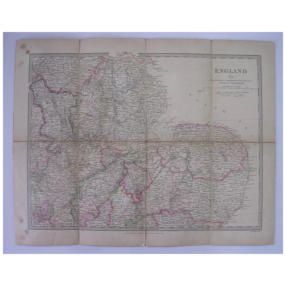
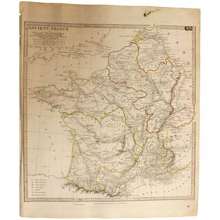
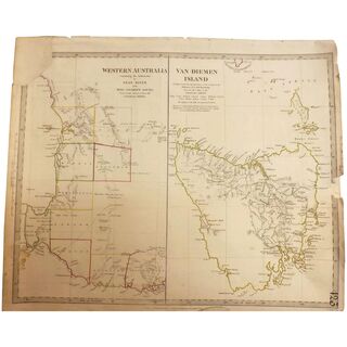
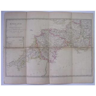
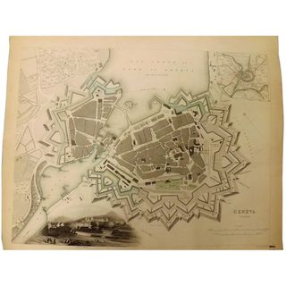
This is a genuine old map produced by BALDWIN & CRADOCK of Paternoster Row, London, dated as September 1st 1830. The map is comprised of 8 paper segments with Linen Backing and is in good condition for its 179 years of age. It would be ideal for framing under glass.
Price:
NZ$ 142.00 including GST
160319x7953
View your shopping basket or Browse other items in Maps & Globes.
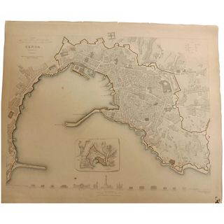
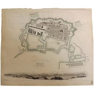
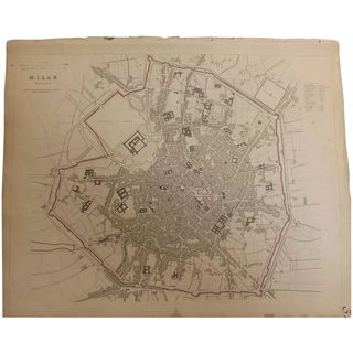
Other products you might be interested in
| Top |